
- AIS improves safety at sea: sends and receives information from the boats in real time, watching the coast martítimo manages traffic and helps the authorities to resolve incidents.
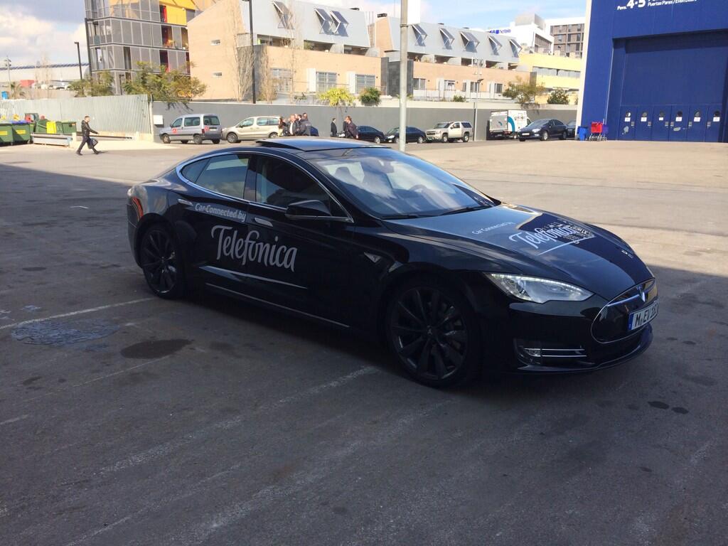
20 February 2014: What if we told you that ships have their own social network? That’s more or less what the AIS (Automatic Identification System) from Telefónica Spain is, a system that makes it possible to identify and track ships automatically from other ships, aircraft, or land-based stations.
The stories of Jules Verne would have been quite different if this system had existed. The International Maritime Organisation approved the AIS in 2002 and in 2004 it began to be used. But it wasn’t until 2007 when it became mandatory for all ships for international voyages larger than 300 tonnes, and for national voyages larger than 500 tonnes, and all passenger ships.
The AIS is based on SOTDMA (Self Organised Time Division Multiple Access) technology and is designed to transmit and receive navigation information and short binary or text messages between mobiles and stations on shore.
Basically, ships exchange identification information, from a GPS, information on the voyages of the ships in the surrounding area, safety messages, etc. In short, it works like a social network for transatlantic ships and other maritime vehicles in order to allow them to contact each other and be informed about everything in real time.
In addition to this ship-to-ship communication, the AIS system also allows coastal surveillance and traffic management. It also provides information to shore stations automatically, including the ship’s identification, type, position, heading, speed, etc. to make it possible to track it.
One of the biggest advantages is that it is easier and more intuitive than radar, because there is no confusion between geographical accidents and ships and it makes it possible to estimate the danger level very quickly.
The Titanic tragedy probably could have been averted with this system. All cargo and passenger ships can be equipped with this system, with the main goal of improving safety for people at sea and navigation efficiency.
Obviously, the AIS service is especially useful for the authorities, because they can track the movement of ships in a particular area, such as restricted areas or narrow passages. One example that highlights the how important the AIS functions are was the maritime accident that took place in the Straits of Gibraltar on 10 January 2012, when the ship Millennium II was struck by the New Glory. Thanks to this system, Telefónica Spain was able to create a video showing the movements of each ship, in order to allow the authorities to determine the responsibility for the accident.
Telefónica Spain’s AIS Network has 37 receiver stations located in ideal locations to ensure coverage of the entire territory of Spain and its islands. In addition, a team stationed in Cádiz monitors all of the maritime movements in Spanish waters 24/7, in order to foresee any incidents or irregularities.
An example of the Cádiz installation can be seen in the Edificio Este of the Distrito Telefónica in Madrid. It is a room that houses the AIS terminals and that acts as a control centre to allow us to zoom in on any point of the Spanish coast in just a few clicks to view the maritime traffic conditions in real time, and also to immediately identify a specific ship in a particular area, where it is headed, its current speed, the cargo it is carrying, etc.
According to Jorge Rubio, International Manager for Network Services, this system “guarantees coverage of up to 30-35 miles from the Spanish coasts, although real coverage can reach up to 70 miles if weather conditions are favourable”. For example, adds Rubio, “From our stations in the Canary Islands, on days with good weather, we can detect the traffic around the islands of Cape Verde”.
Nothing escapes the eyes of the AIS systems.